History
A tale of two camps
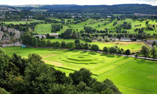
The remains of two Roman camps have been identified at Dullatur. The first and larger camp covered an area of about 9 acres and was probably used to accommodate workers building the Antonine Wall. The second, smaller camp seems to have been built in the area of the first camp soon after it fell into disuse, and re-used some of its defences.
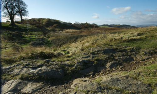
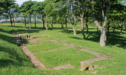
There is no visible trace of either camp today. Their sites now lie beneath modern housing on Antonine Road in Dullatur.
Frontier of an empire
The Antonine Wall was the Roman Empire’s north-western frontier. Built on the orders of Emperor Antoninus Pius in the years following AD 140, it ran for 37 miles (60km) across Scotland’s central belt, from modern Bo’ness on the Firth of Forth to Old Kilpatrick on the River Clyde.
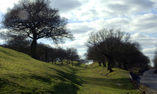
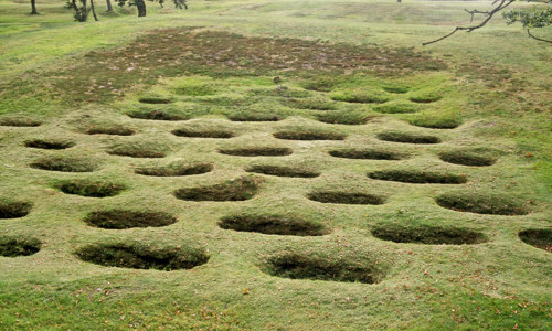
Rather than a stone wall, the Antonine Wall consisted of a turf rampart 3–4 metres high on a stone base, possibly topped with a timber palisade. It was fronted by a wide and deep ditch, much of which is still visible today. Forts along the wall provided accommodation for the troops and acted as secure crossing points. All forts were linked by a road called the Military Way, which ran behind the rampart.
When it was completed, the Antonine Wall was the most complex frontier ever built by the Roman Army. It was the Romans’ last linear frontier, and was only occupied for about 20 years before it was abandoned in the AD 160s.


