History
A fort divided
Castlecary has been plundered for building materials from at least as early as the 1400s. The site was further disturbed in 1841 by the construction of the Edinburgh to Glasgow railway line, which now divides the site. The railway line runs through the former bath house and a set of barracks, with the commander’s house, headquarters and latrine to the north.
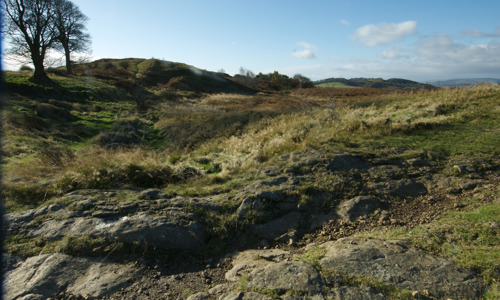
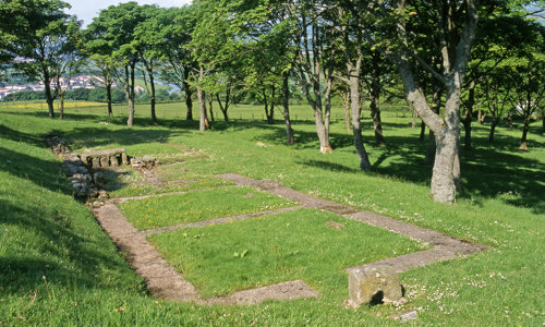
Current visible remains of the fort include:
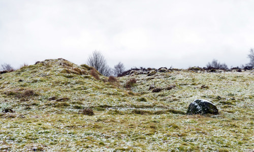
- a low mound and portions of exposed stonework from the fort’s east rampart
- small portions of the headquarters building near a cluster of trees within the centre of the fort
- traces of stonework at the north gate
Several artefacts have been recovered from the site, most notably an altar and statue to the Roman goddess Fortuna.
Frontier of an empire
The Antonine Wall was the Roman Empire’s north-western frontier. Built on the orders of Emperor Antoninus Pius in the years following AD 140, it ran for 37 miles (60km) across Scotland’s central belt, from modern Bo’ness on the Firth of Forth to Old Kilpatrick on the River Clyde.
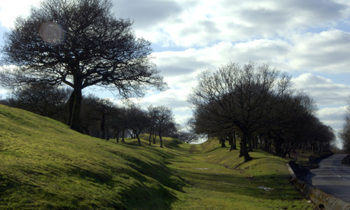
Rather than a stone wall, the Antonine Wall consisted of a turf rampart 3–4 metres high on a stone base, possibly topped with a timber palisade. It was fronted by a wide and deep ditch, much of which is still visible today. Forts along the wall provided accommodation for the troops and acted as secure crossing points. All forts were linked by a road called the Military Way, which ran behind the rampart.
When it was completed, the Antonine Wall was the most complex frontier ever built by the Roman Army. It was the Romans’ last linear frontier, and was only occupied for about 20 years before it was abandoned in the AD 160s.


