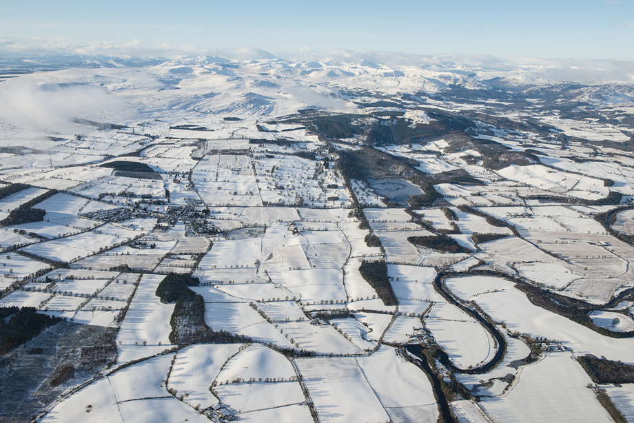
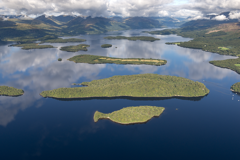
Aerial photography was a cutting-edge technical innovation developed in the First World War. Courageous flying crews took photographs that provided vital information for military planners.
In the Second World War, aerial photography was used extensively at home and abroad. Our collection of Royal Air Force (RAF) images of Scotland contains over 750,000 photographs.
Since 1976, we have conducted aerial surveys of Scotland. We also manage an archive of images within our National Collection of Aerial Photography (NCAP) produced by Aerofilms, the RAF, Ordnance Survey and the All Scotland Survey commissioned by the Scottish Office.
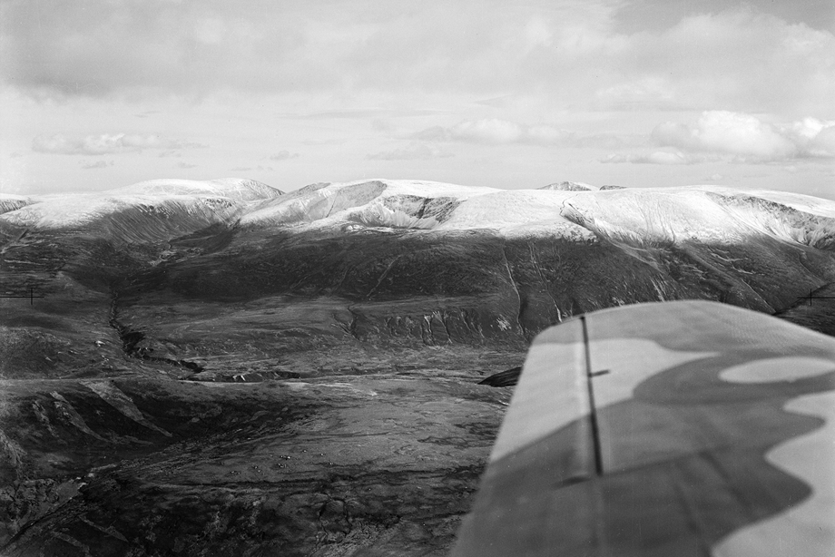
Cairngorm mountains, 1947
The snowy tops of Macdui, Sronna Lairige, Braeriach, Angel’s Peak (Sgor an Lochain Uaine) and Cairn Toul are photographed from an Aerofilms plane.
The company started photographing Scottish landscapes, towns and industries in the late 1920s, selling the images as postcards and business promotional materials.
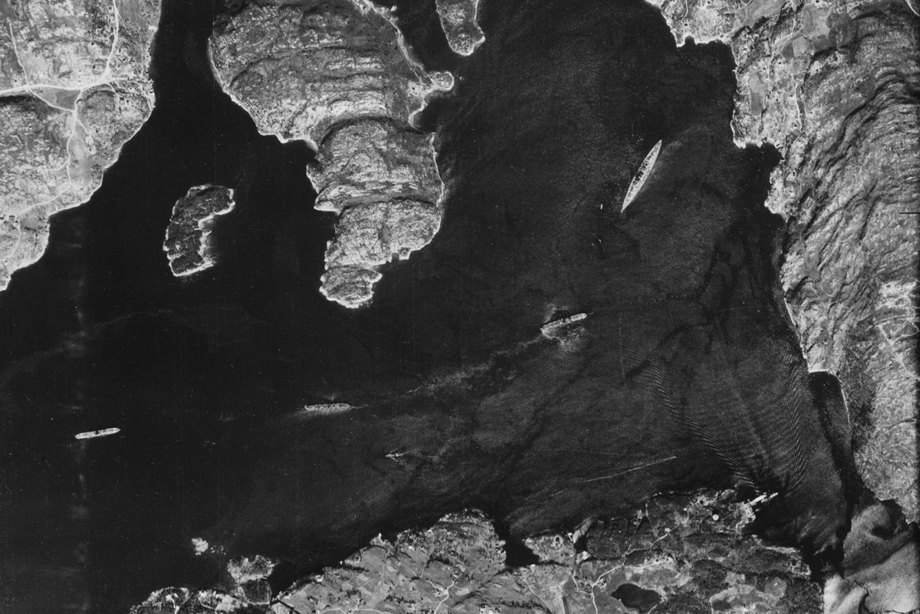
The Bismarck, 21 May 1941
Taking off from Wick airfield on 21 May 1941, Flying Offcer Michael Suckling was in search of the Bismarck, one of Germany’s largest and most powerful battleships, most recently spotted near Norway.
Suckling managed to find the Bismarck hiding in a fjord near Bergen and take this photograph. Suckling hand-delivered his image to London and the Royal Navy set off to find and destroy this prestigious enemy target.
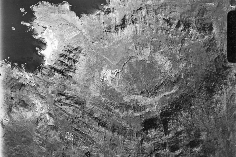
Caldera, Ardnamurchan, Peninsula, 1944
RAF photographers capture the rings of Ben Hiant, a collapsed volcano in Ardnamurchan.
This image was taken by a crew training in photographic reconnaissance. It was one of 300,000 photographs taken by the RAF National Survey of the UK between 1946 and 1951, creating a mosaic map of the whole country.
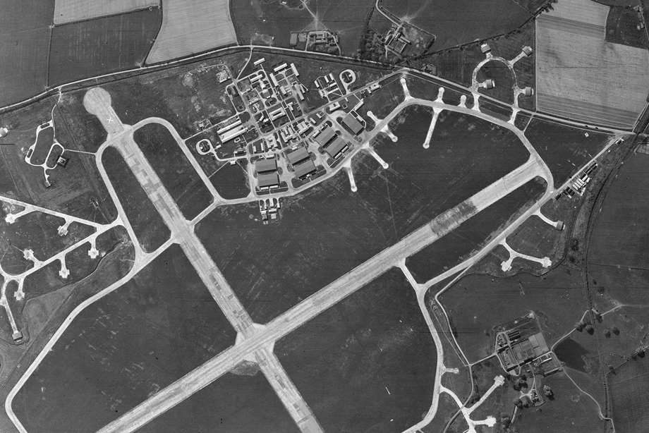
Second World War Airfields
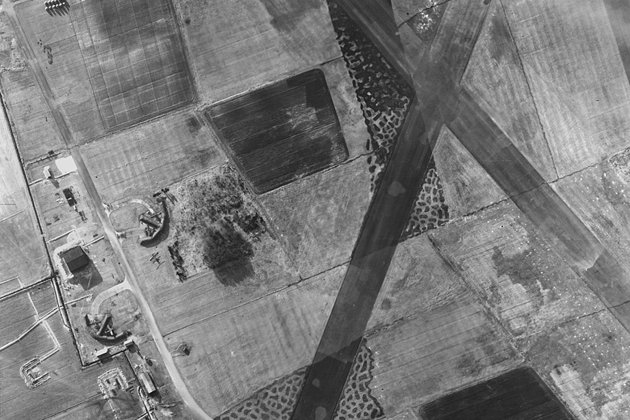
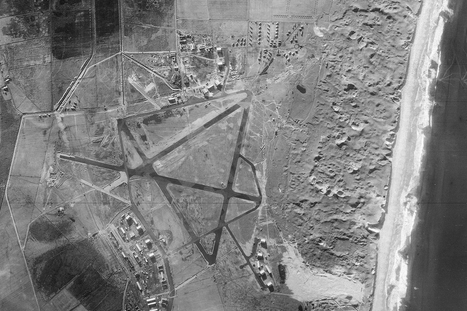
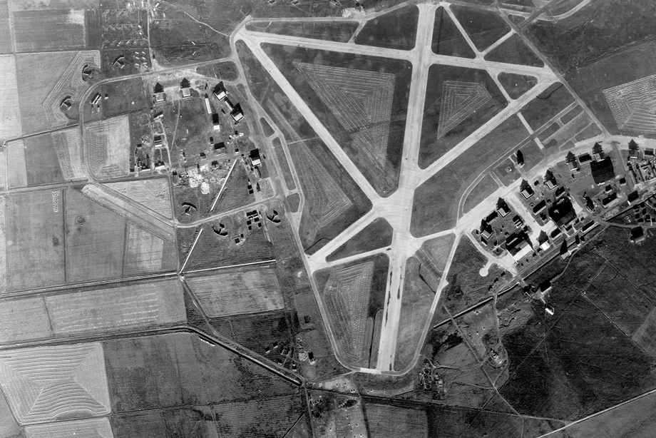
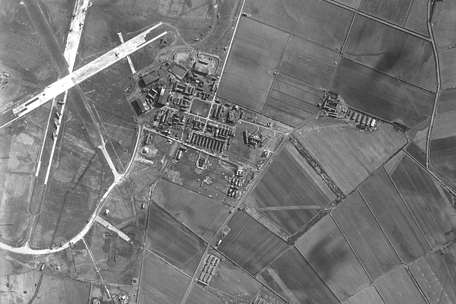
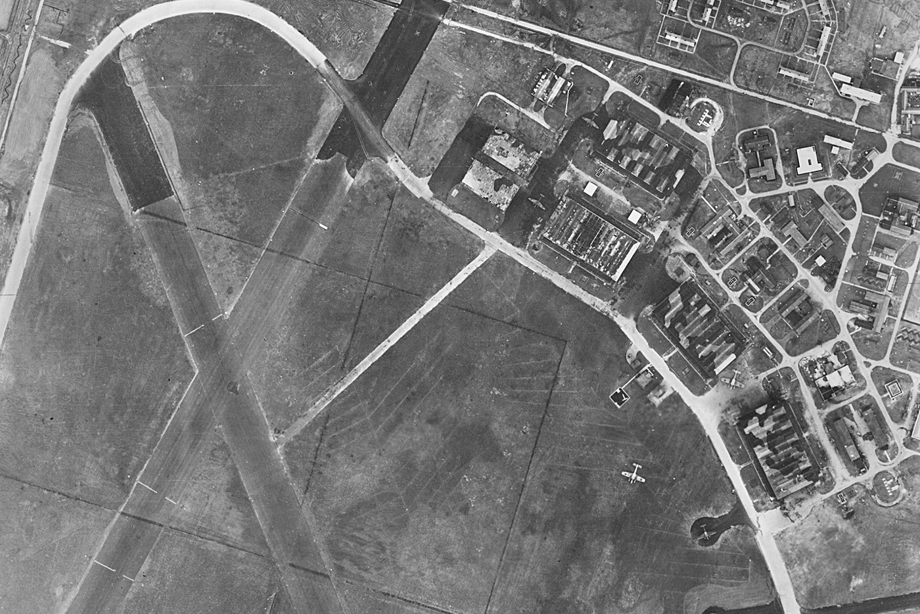
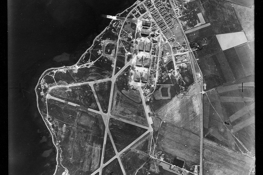
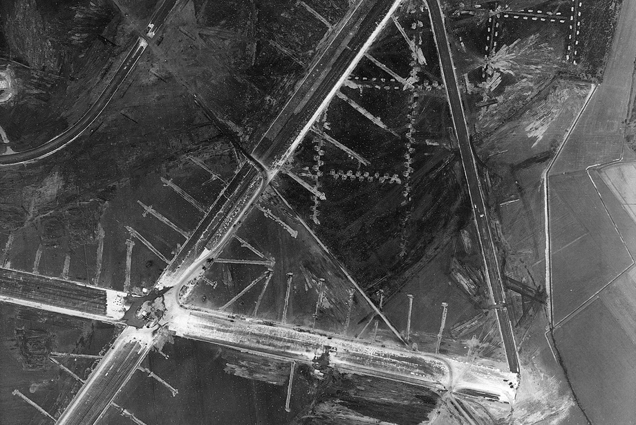
During the Second World War, airfields scattered the coast and nearby inland areas of Scotland. RAF photographs taken during and after the War recorded the size, layout and facilities of each one.
The first image shows Baldoon Airfield, Wigtown opened in 1941 but regular floods meant that the airfield was often unusable. The tarmac runways visible here were laid in 1942.
The second image shows Fearn Airfield, Balintore. In 1943, Fearn Airfield on the Moray Firth coastline was transferred from the RAF to the Royal Navy. The airfield was renamed HMS Owl and used for torpedo training.
Machrihanish Airfield, Argyll, 1941-46
The civilian airfield at Machrihanish was too small for military operations so a second airfield was built nearby.
Aircraft based at Machrihanish patrolled the Atlantic Ocean for enemy submarines and protected convoys of ships bringing supplies to Britain.
Dyce Airfield, Aberdeen, 1941
Dyce was the home of No. 8 Operational Training Unit which trained pilots to take aerial reconnaissance photographs.
The RAF at Dyce also provided defence against attacks from German-occupied Norway.
Wick Airfield, Caithness, 1941
From 1940 to 1942, Spitfires took off from Wick Airfield for aerial photography and reconnaissance flights over Norway and northern Germany.
Hatston Airfield, Kirkwall, Orkney, 22 June 1941
The four runways at Hatston Airfield just outside Kirkwall were used by aircraft from Royal Navy Fleet Air Arm units and the United States Navy.
Dallachy Airfield, Spey Bay, 1943
Between 1944 and 1945, Dallachy Airfield was home to an RAF Coastal Command Strike Wing with RAF, Canadian, Australian and New Zealand squadrons who flew many dangerous low-level missions to attack German shipping in Norway.
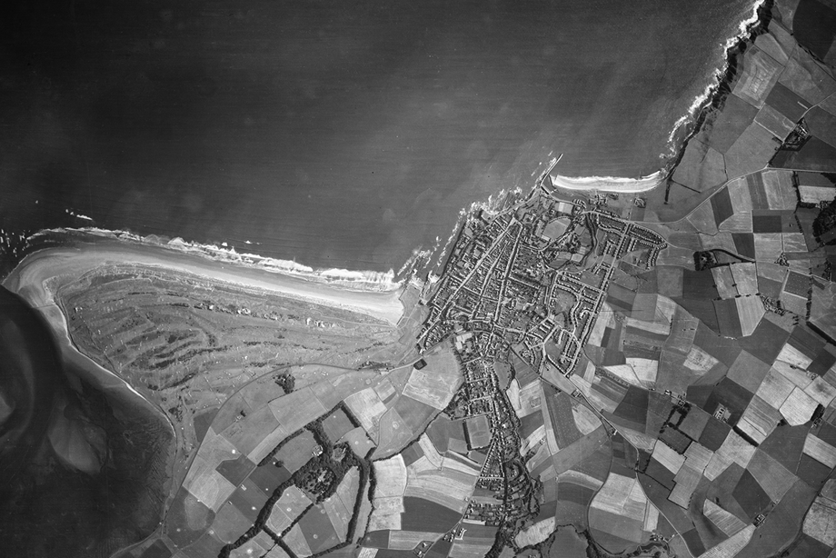
St Andrews, Fife, 1944
The distinctive two-mile stretch of West Sands provides a backdrop to the Old Course of the Royal and Ancient Golf Club of St Andrews. The town’s medieval streets - North, Market and South – form a clear triangle converging at the town’s ruined cathedral near East Beach.
To the far right, a new street layout emerges as homes are built for the town’s expanding population.
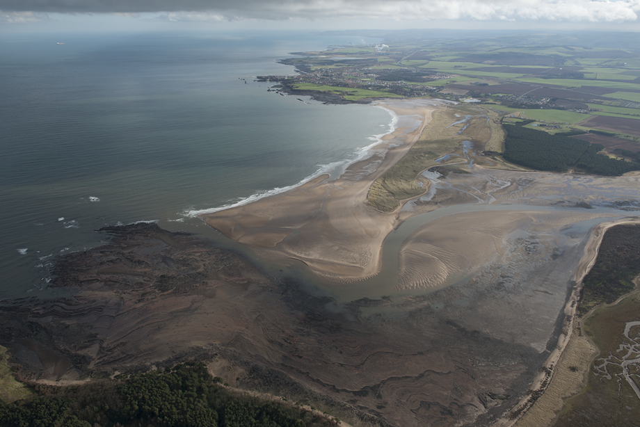
Belhaven Bay, Dunbar, East Lothian, 2014
This image from the HES Archives records the natural environment of Belhaven Bay, the town of Dunbar and Torness Nuclear Power station beyond, while also capturing the dog-tooth patterns of First World War trenches in the grass beside the forestry plantation on the right.
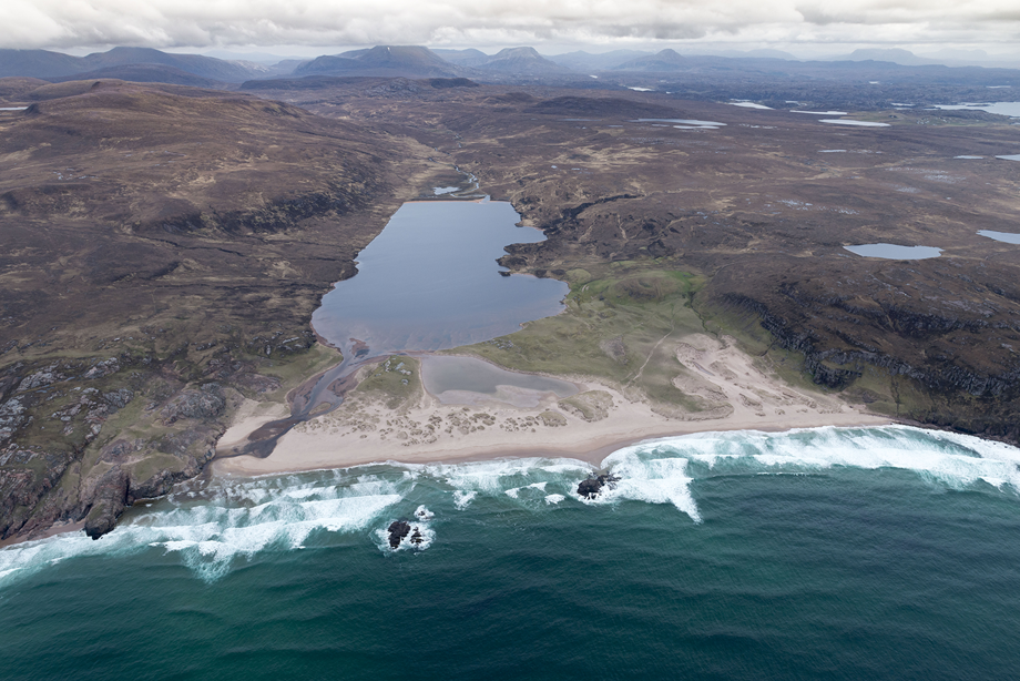
Sandwood Bay, Sutherland, 2015
Sandwood Bay is on the north-west coast six miles south of Cape Wrath, facing the full force of Atlantic storms.
The 1.5-mile white sand beach is separated from the freshwater Sandwood Loch by dunes and is only accessible by a four-mile walking track.
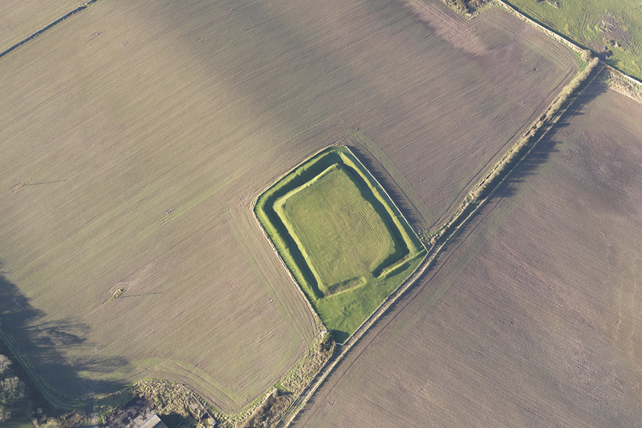
Rispain Camp, Whithorn, 2012
Two earth ramparts separated by a ditch created an enclosure for the farmers who lived at Rispain Camp around 60BC.
This Iron Age farmstead is so well-preserved that archaeologists used to think it was a more recent medieval structure.
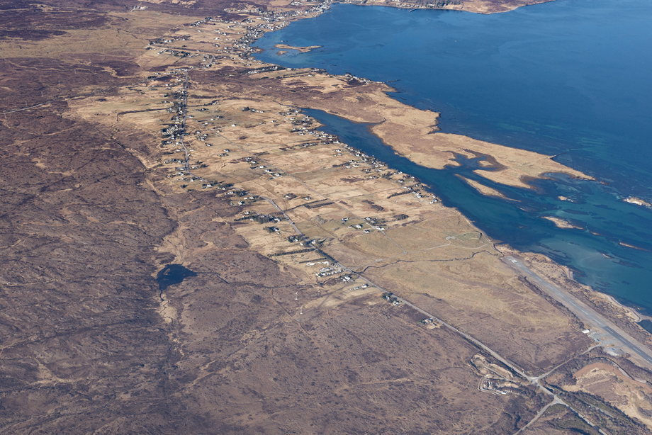
Broadford and the Cuillin Mountains, Isle of Skye, 2013
From the town of Broadford in southern Skye the softer rounded curves of the Red Cuillins provide a foreground to the jagged peaks of the Black Cuillins.
Commercial services from the airfield discontinued in 1988, but the site is often used for filming.
Scotland from the Sky continued
Continue your exploration of Scotland's extraordinary landscape from this unique perspective.

